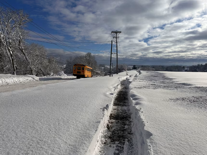
Climate scientists say the upcoming winter of 2025–2026 is more likely to bring neutral conditions rather than a strong La Niña pattern. La Niña usually forms when cooler than average waters spread across the central and eastern tropical Pacific Ocean, disrupting global weather and shaping colder, wetter, or drier winters depending on the region.
The latest models suggest there is around a 70 percent chance of a neutral ENSO phase, while the probability of La Niña emerging is less than 25 percent. This means global temperatures may ease slightly compared to the record heat of 2024, but the shift will not be dramatic. The absence of a strong La Niña signal points toward a more typical winter season, where weather patterns are guided by a mix of regional systems like the Arctic Oscillation and the North Atlantic Oscillation rather than a dominant Pacific driver.
For the United States, the outlook suggests fewer of the sharp contrasts that normally mark La Niña years. The southern states are less likely to face prolonged dry and warm conditions, while the Pacific Northwest and Great Lakes region may not see unusually intense snow or cold. In Europe and Asia, where winters can also be influenced by ENSO, the neutral state means variability will depend more on short term weather shifts than on an overarching Pacific trend.
Scientists caution that neutral does not mean uneventful. Even without La Niña, extreme weather can still strike, from cold snaps and blizzards to unseasonable warmth. But the lack of a strong ENSO signal lowers the risk of prolonged, large scale disruptions tied to the Pacific cycle.
As the planet continues to warm from climate change, the dynamics of El Niño and La Niña remain critical to long range forecasts. This year, though, the story is one of moderation. Winter 2025–2026 is expected to bring a more balanced climate picture rather than the extremes that La Niña can unleash.


